- San Pedro River South of Highway 92
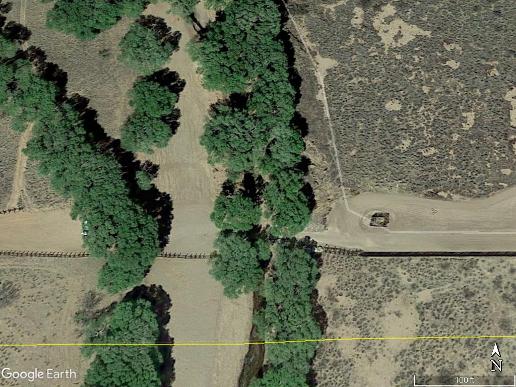 April 6, 2018 Satellite Photograph at International Border
The satellite photograph above was taken at 5 PM on April 6, 2018. The line of trees to the left of the San Pedro River
may represent a former course of the river. The yellow line is the International Border. The photograph shows the US border fence and the cleared area immediately north of it.
may represent a former course of the river. The yellow line is the International Border. The photograph shows the US border fence and the cleared area immediately north of it.
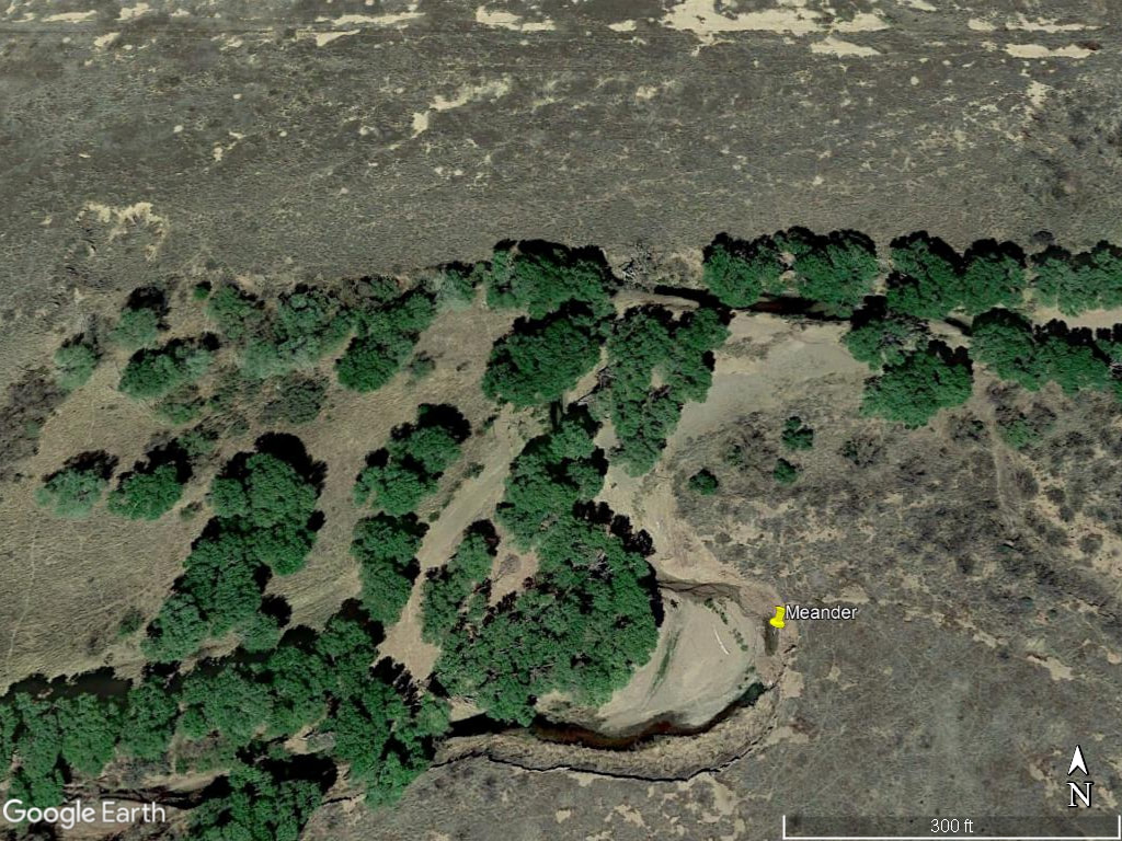 April 6, 2018 Satellite Photograph of San Pedro River Showing a Meander
The satellite photograph above Was taken on April 6, 2018. It shows a meander (marked with yellow pin) at a location slightly North of the International Border. Latitude and longitude of marker are 31°20'28.76"N 110° 8'27.91"W.