- TSan Pedro House area
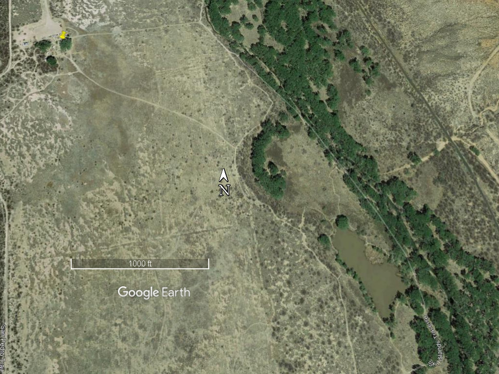
April 2013 satellite view of San Pedro House area, just S. of Highway 90.
The yellow pin marks the San Pedro House. The photograph shows part of the trail system near the San Pedro House. The trees along the San Pedro River are visible in the right portion of the photograph. An oxbow is to the right of the compass marker pointing north. Green Kingfisher pond is located to the right of the scale legend.
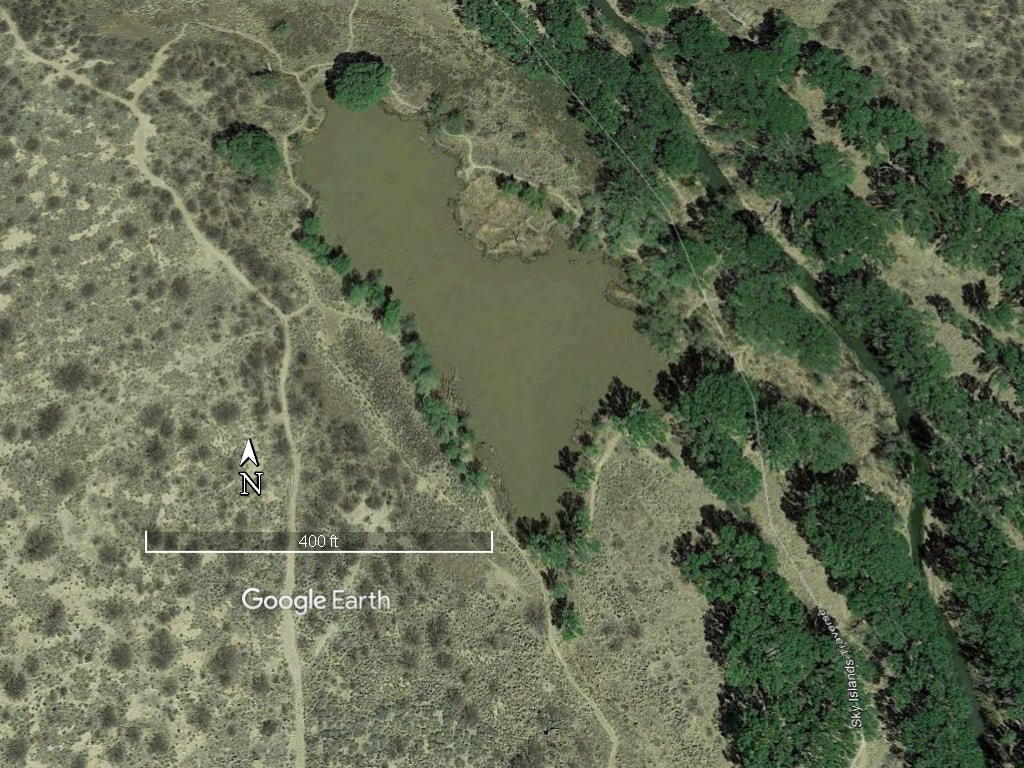
April 2013 satellite view of Green Kingfisher pond
The Green Kingfisher pond shown here is a former gravel pit. It is gradually filling in with sediment and will gradually become a marshy area and then vanish as sediment continues to fill it in.